

Your question may also be addressed on the How to Cite FGDL page, or in the layer's metadata.
Table of Contents
- How can I get data added to the FGDL?
- What happened to the county data layers?
- What do I do if the download data button isn't working?
- How do I add an FGDL Map Service to ArcGIS Pro 3.x?
- How do I add an FGDL Map Service to ArcGIS Online?
- How do I add an FGDL Map Service Connection to QGIS 3.x?
- I can't find a data layer on the FGDL Explorer
How can I get data added to the FGDL?
The data in the FGDL is maintained to support projects that GeoPlan Center works on for the Florida Department of Transportation. There are some exceptions. GeoPlan Center will evaluate these exceptions on a case by case basis. Please contact us here if you have a layer that you need included in FGDL.
What happened to the county data layers?
When the FGDL first started it was necessary to break up large datasets and distribute by county. Large datasets were too large to fit on a cd or dvd and were cumbersome to use with older generations of GIS software. Those limitations are no longer a problem so we primarily distribute data statewide now, with some exceptions for district-wide data. The data layers in the county folders were quite old and only kept around for historical purposes. The vast majority of these layers are now in our archive as state or district wide layers.
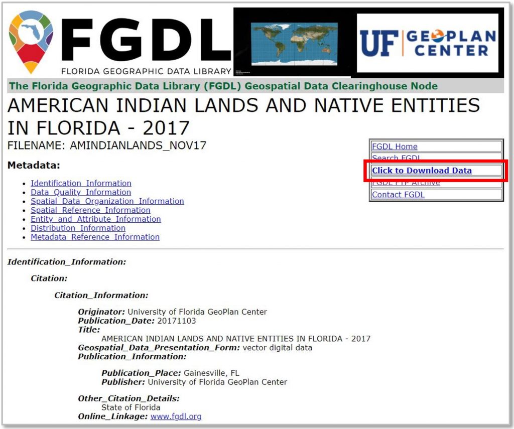
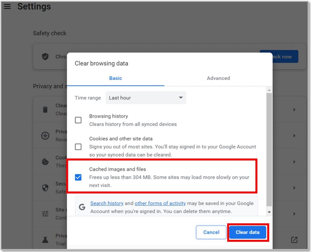
What do I do if the download data button isn't working?
If your Click to Download Data button isn’t allowing you to download GIS data, then your browser might have some stored cookies for the website.
View and download solution PDF.
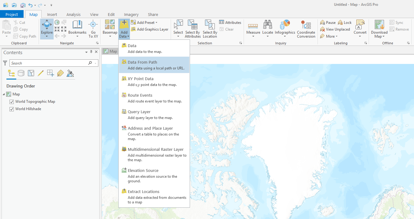
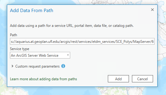
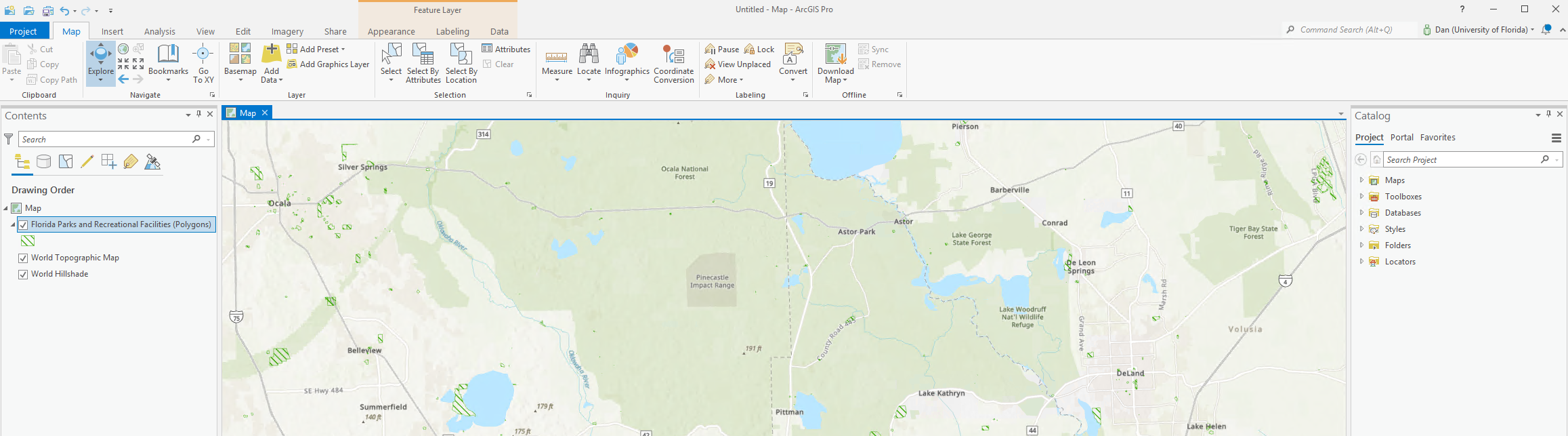
How do I add an FGDL Map Service to ArcGIS Pro 3.x?
View and download solution PDF.


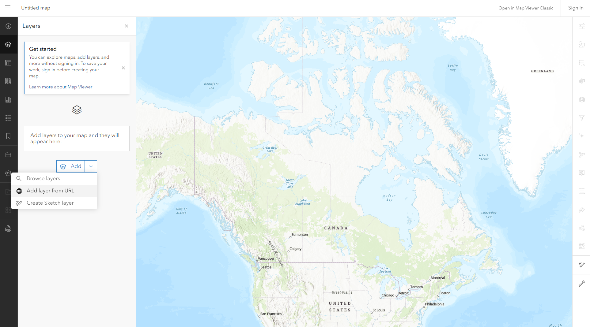
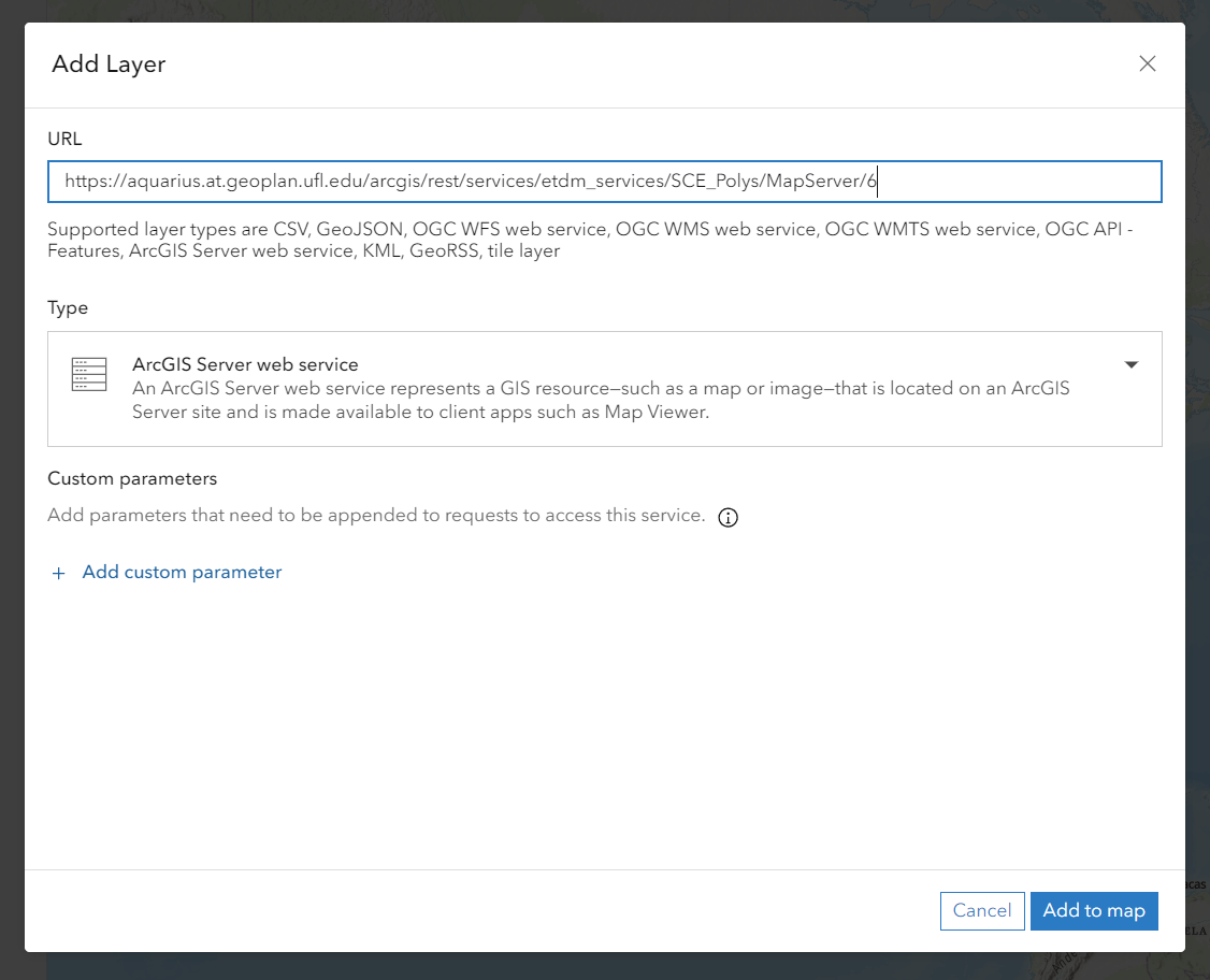
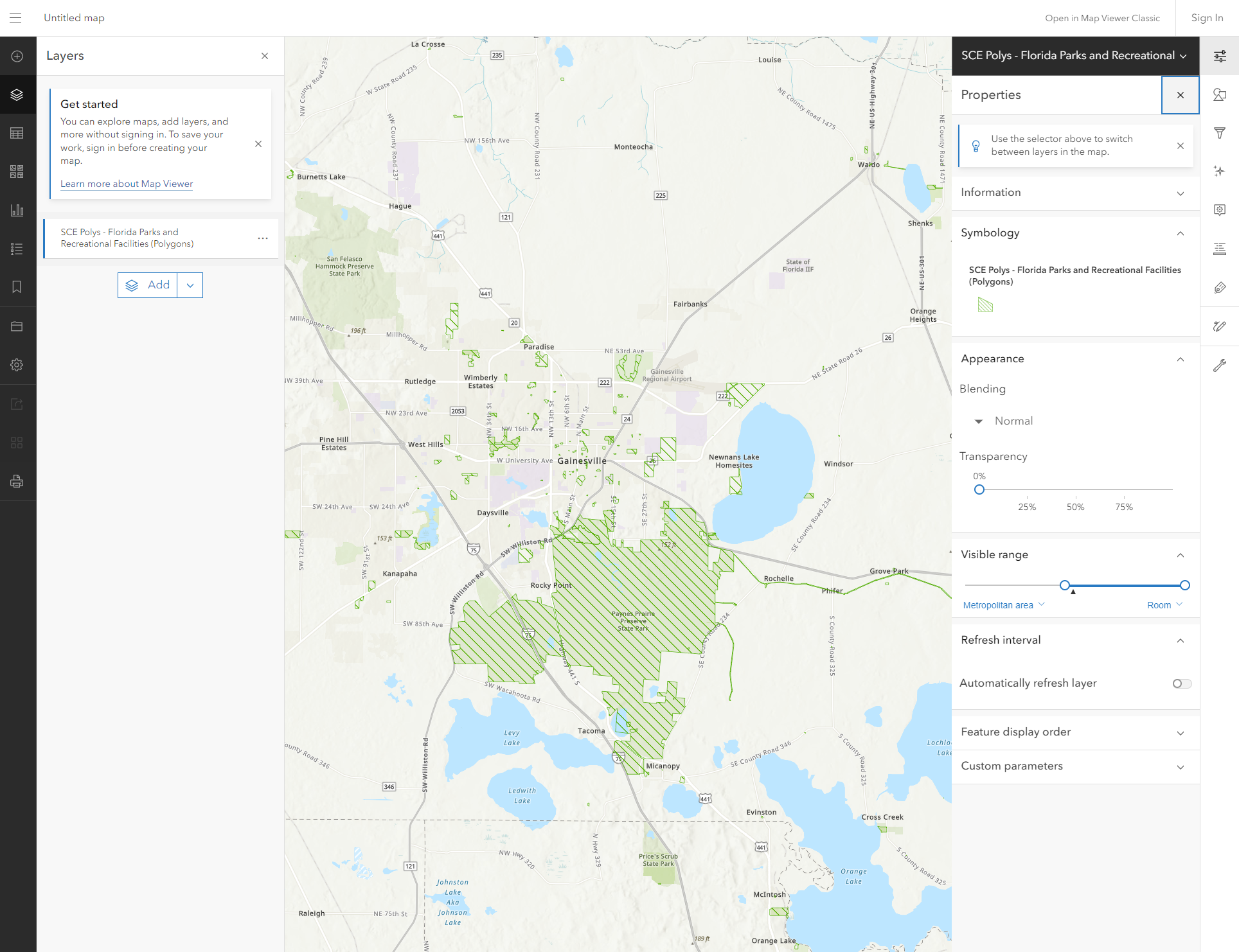
How do I add an FGDL Map Service to ArcGIS Online?
View and download solution PDF.


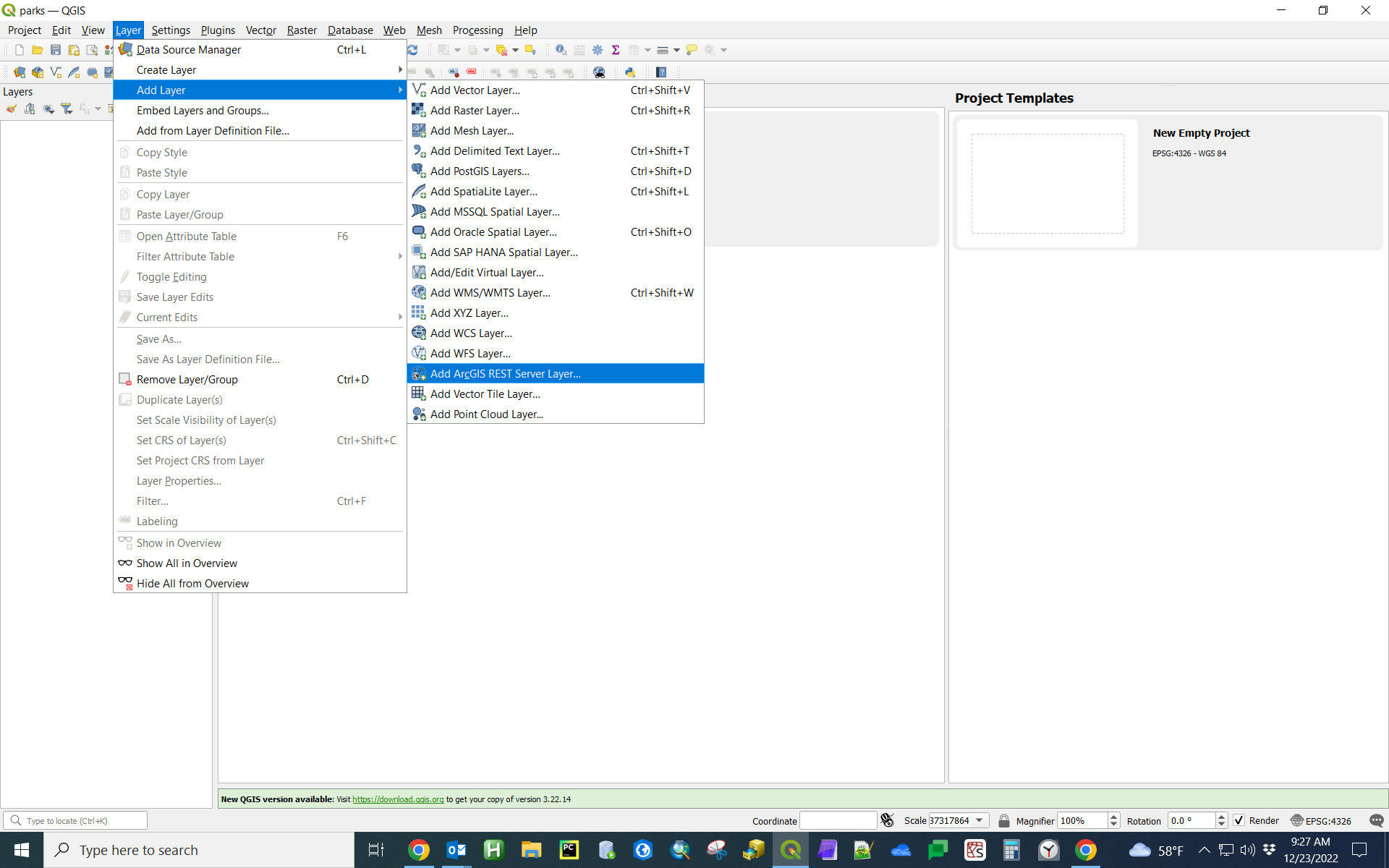
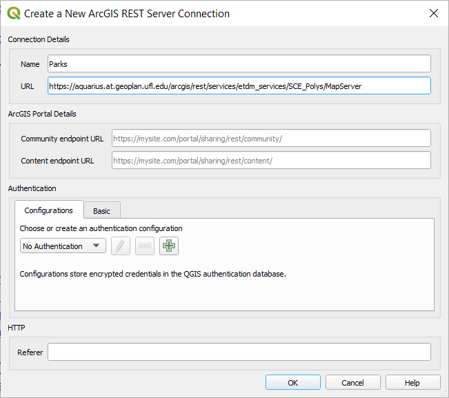
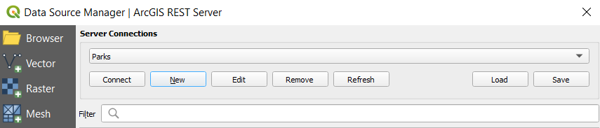
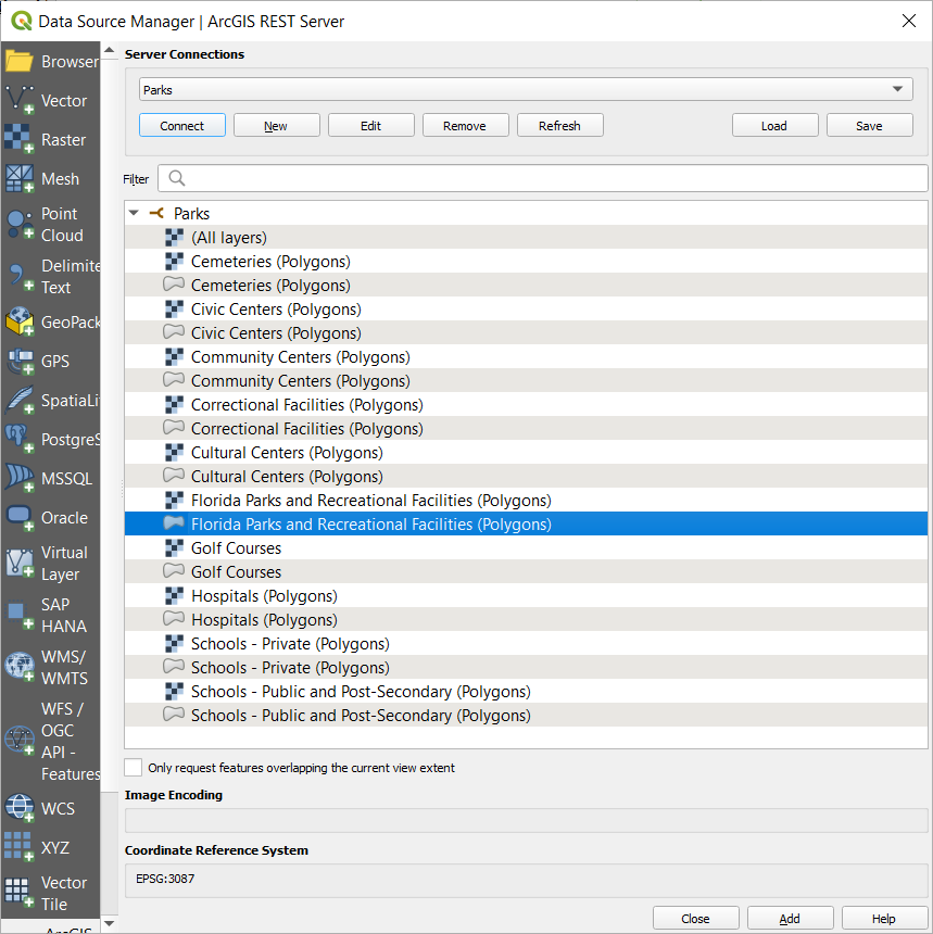
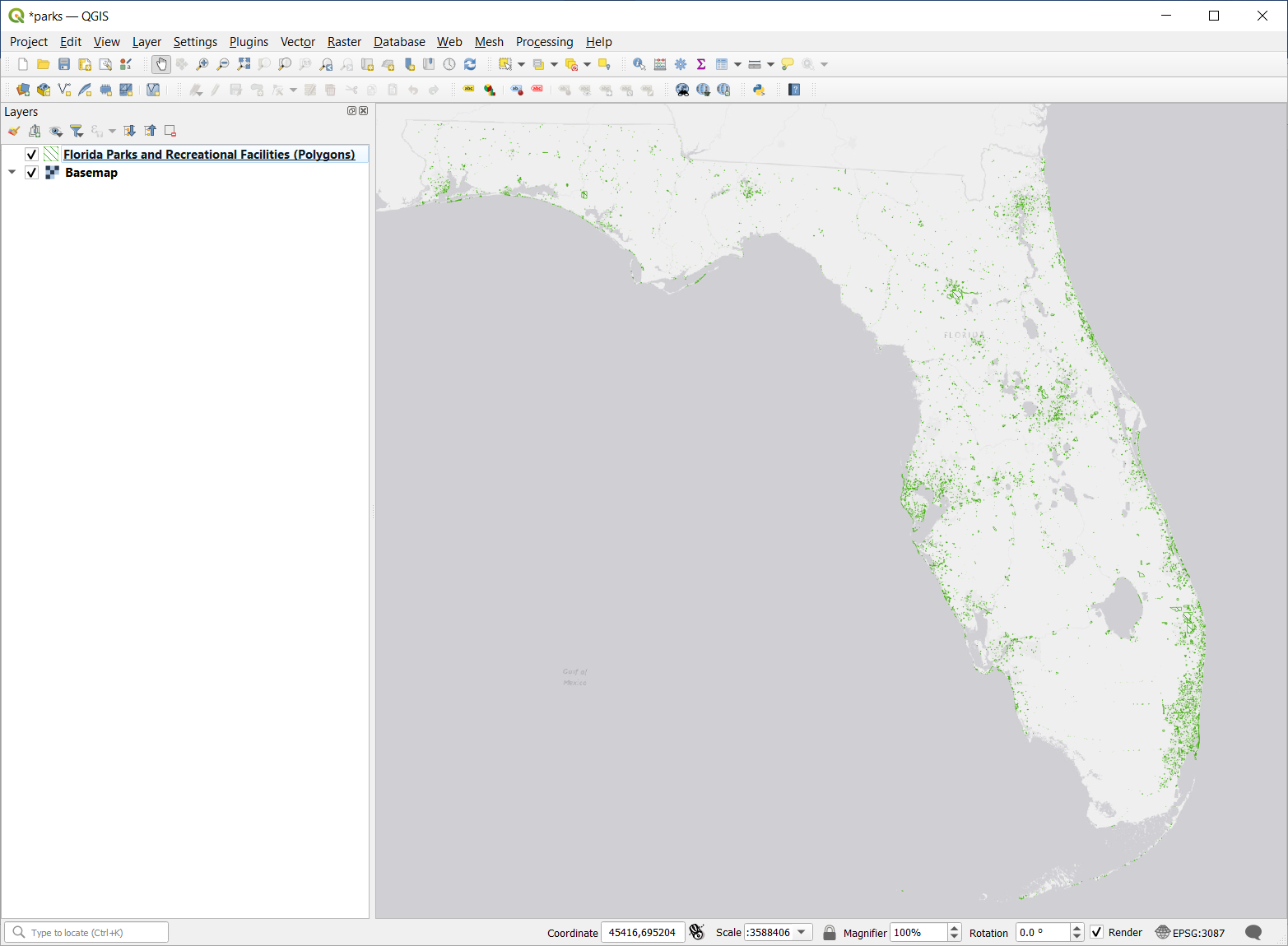
How do I add an FGDL Map Service Connection to QGIS 3.x?
View and download solution PDF.

I can't find a data layer on the FGDL Explorer
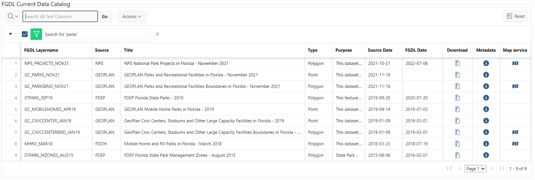
The FGDL Explorer does not include every data layer hosted by FGDL. If you can't find what you're looking for, try checking the FGDL Current Data Catalog, which includes all current layers published in FGDL, or the FGDL Archive Data Catalog, which includes all layers published in FGDL since 2004.